

The Ordnance Survey is the mapping agency of Britain responsible for the production of all maps. It was set up during the Jacobite rising of 1745. Prince William, Duke of Cumberland, realised that the British Army did not have great maps of the Scottish Highlands. In 1747, King George II commissioned a military survey of the Highlands under the command of the Duke of Cumberland.
In order to produce the maps, one uses the triangulation method, where the location of any point is determined using the angles from any known points. Incidentally, this is exactly how a GPS locates you on the planet today!
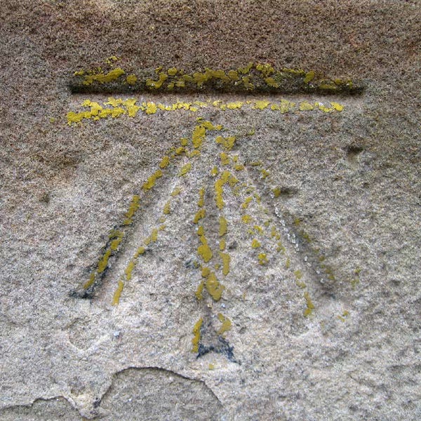
Triangulation requires precise measurement. The surveyors used a three-legged bench to place a table which was level with the ground. The points at which the legs would be placed on the ground used to be marked with “benchmarks”. An angle iron was left in the ground to mark the points.
Source: Wikipedia
#/media/File:Benchmark_in_Edinburgh.jpg)
These locations were marked so that the bench could be placed back at the same location precisely without repeated measurements.
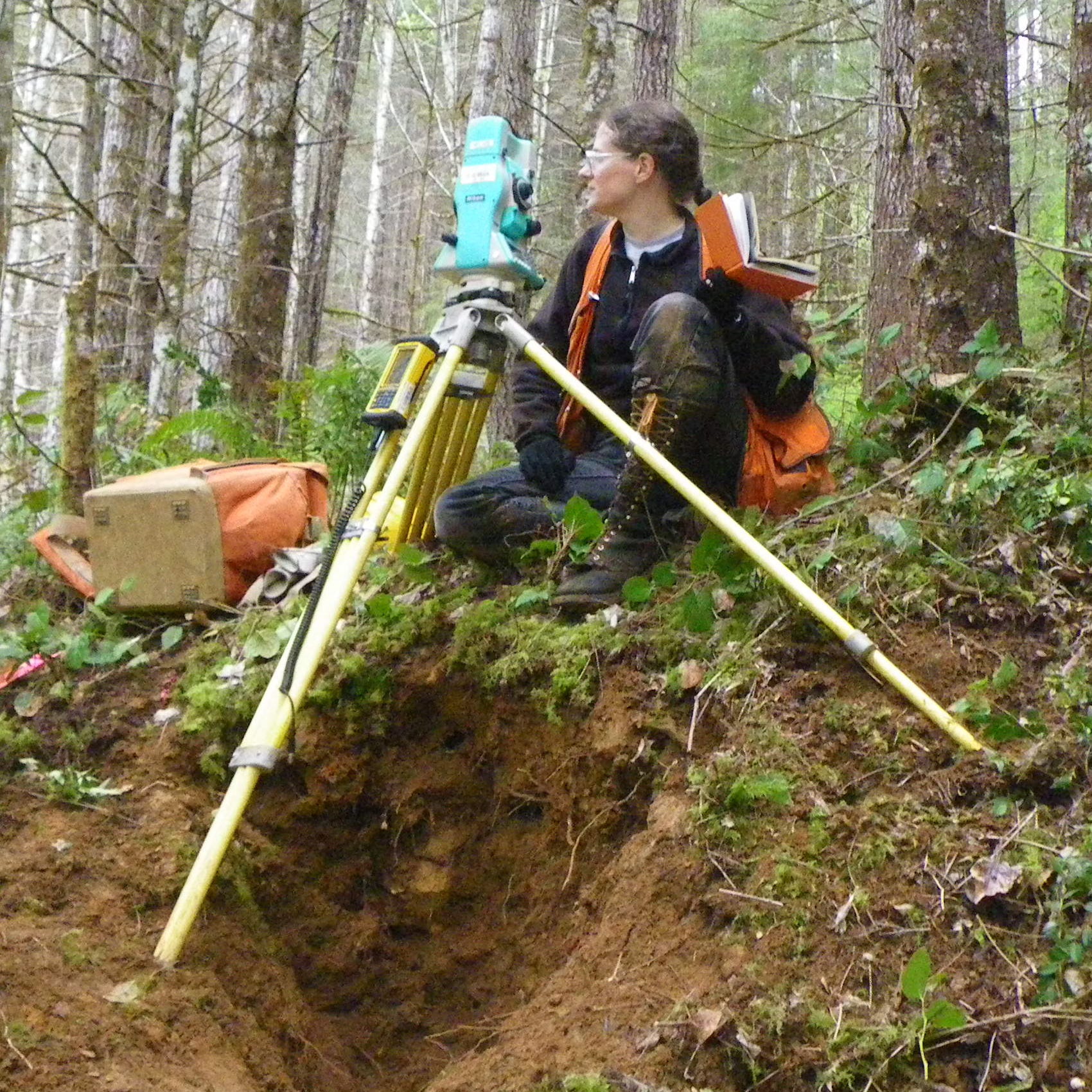
Even today, most surveyors use a three-legged survey tool called the total station to undertake surveys on the ground.
Source: Wikipedia
_crop.jpg)
In 1979, Xerox used the term Competitive Benchmarking to compare its process with those of the Japanese firms they were competing.
Some guy in a management college read this, and the word started its new journey, which refers to a standard or a point of reference.